Welcome to my GIS portfolio! I explore the world through a geographical lens.
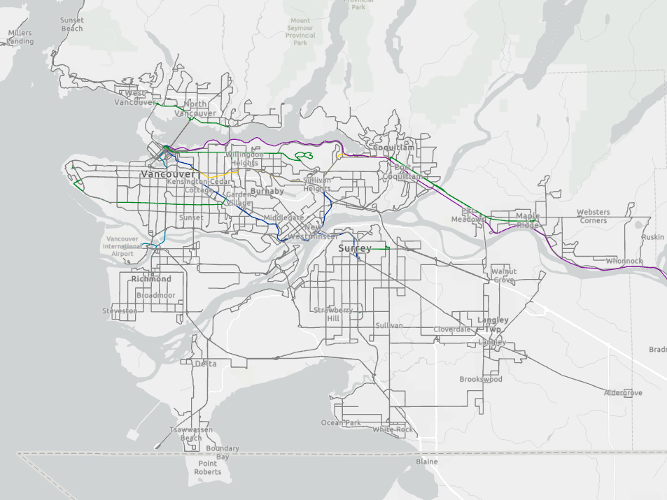
TransLink Spatial Data Repository
Noting a lack of publicly available and updated TransLink data for GIS analysis, I created a GitHub repository for open, updated, and ready-for-analysis datasets such as bus routes, bus stops, and rapid transit routes.
Licker Geospatial Mapathon 2021
In Nov 2021, I participated in my first mapathon, hosted by Licker Geospatial Consulting Co. It consisted of two rounds, the first being a speed-based event while the second focused on analysis and technical knowledge.
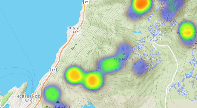
SAR Call-outs in the North Shore Mountains [2018 - 2020]
I compiled location data for search and rescue call-outs by going through Emergency Management BC's reports and Facebook posts. Using that data, I created a Leaflet heatmap of all of the call-outs in the North Shore Mountains.
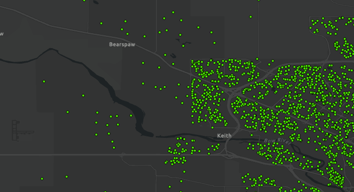
Automating data cleanup with Python scripting
While geocoding a large dataset based on postal codes, I discovered that many of the postal code values had a space. I wrote a Python script to parse a directory for csv files, loop through each row in a csv file, and remove any spaces from the postal code field.
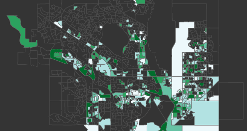
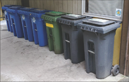
UBC SEEDS Compost Bin Contamination
My team was tasked to create an inventory of compost bins on campus and to collect accessibility and contamination data. We wanted to know if there was any correlation between bin accessibility and the rate of contamination.
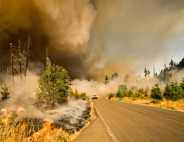
Housing Vulnerability in the Fort McMurray Wildfire
Using satellite imagery and census data, I analyzed the wildfire damage across the city in relation to its dwelling density and median household income. In addition, I mapped the fire progression to see if FireSmart practices were effective in reducing damage to homes.